

Email from alan dransfield to relevent bodies.
Dear Environment Agency Senior Management Review Team,
I am writing to request a formal Stage 2 review and management investigation of a number of outstanding matters concerning regulatory oversight, permit compliance, discharge infrastructure, asset documentation and flood-risk management within the Boston and Wash area.
I have previously raised a number of these matters with the Environment Agency and received responses which, in several cases, have not directly answered the questions asked or have provided general information without identifying the specific records, engineering documents, permit plans or assessments relied upon.
I am therefore requesting that this correspondence is treated as a formal complaint and Stage 2 review, rather than as a further general information enquiry.
I am not asking the Agency merely to restate its previous position. I am asking senior management to establish the factual position, identify the relevant records, reconcile apparent discrepancies and provide a direct answer to each question below.
Where the Environment Agency does not hold a requested document or record, please state this explicitly rather than directing me to a general public database.
- BOSTON / SCALP ROAD WASTEWATER RECYCLING CENTRE
The Environment Agency previously advised in writing that tanker movements associated with sludge removal at the Boston/Scalp Road WRC “rarely exceed one tanker movement per week.”
However, observations over an extended period indicate substantially greater tanker activity. In addition, on 4 September 2026, a tanker operator representative stated that multiple wagons are specifically dedicated to the Scalp Road site and carry raw sewage. The originating locations of that sewage were not disclosed.
There has also been physical observation of an apparent discharge into the River Haven at or near the south-western boundary of the Scalp Road site.
I therefore request answers to the following:
1.1 What exactly did the previous statement that tanker movements “rarely exceed one tanker movement per week” refer to?
Please specify whether this referred only to sludge removal, and whether it excluded tankers delivering raw sewage, imported waste or other materials to the site.
1.2 Please provide, for the relevant period, a breakdown of tanker activity associated with Scalp Road, distinguishing between:
- tankers delivering raw sewage;
- tankers delivering sludge or other imported waste;
- tankers removing sludge;
- tankers removing treated or processed waste; and
- any other tanker movements associated with the operation.
If the EA does not hold these records, please state that explicitly and identify which organisation does hold them.
1.3 What regulatory records does the EA hold concerning imported waste accepted at Scalp Road?
Please identify any relevant:
- waste transfer documentation;
- waste acceptance records;
- operator returns;
- permit records;
- inspection records;
- monitoring records; and
- enforcement or compliance records.
1.4 What are the permitted types and quantities of imported waste or raw sewage that may be received at Scalp Road?
Please provide the relevant permit conditions and explain how compliance with those conditions is verified.
1.5 What are the recorded source locations and quantities of imported raw sewage or other waste received at Scalp Road?
If the EA does not hold this information, please explain why and identify the responsible record-holder.
1.6 What is the legally permitted final-effluent discharge point for Scalp Road WRC?
Please provide:
- the precise National Grid Reference;
- the receiving watercourse;
- the relevant permit reference;
- the official permit plan; and
- any available asset or engineering drawing showing the route from the treatment process to the permitted outfall.
1.7 Is there any hydraulic or operational connection between Scalp Road WRC and the Hobhole drainage system?
Please provide a clear written answer as to whether any treated, partially treated or untreated flow from Scalp Road can enter the Hobhole under normal, abnormal, emergency or maintenance conditions.
If no such connection exists, please confirm this expressly.
- WYTHES LANE / FISHTOFT WRC – HOBHOLE DISCHARGE
I was previously advised by Mr Strawson that the legally permitted discharge point for the Wythes Lane/Fishtoft WRC was at NGR TF 3667 4450.
However, physical inspection indicates that the apparent final-effluent outlet is substantially further south. The observed outlet consists of a substantial black pipe discharging through a culvert directly into the Hobhole.
This raises a fundamental question concerning the distinction between the location of treatment/pumping infrastructure and the actual point at which effluent enters the receiving water.
2.1 Will the Environment Agency undertake a physical investigation to reconcile the stated NGR TF 3667 4450 with the physical outfall?
2.2 What is the exact National Grid Reference of the point at which final effluent physically enters the Hobhole?
Please distinguish clearly between:
- the treatment works;
- any pumping station;
- the start/end of any discharge pipeline; and
- the actual point of environmental discharge into the receiving water.
2.3 Which National Grid Reference is recorded on the current environmental permit as the discharge point?
Please provide a copy of the relevant permit plan.
2.4 If TF 3667 4450 is not the physical point of discharge, why was this location previously described as the legally permitted discharge point?
Please provide the documentary basis for the previous answer.
- WYTHES LANE–HOBHOLE PIPELINE AND ASSET DOCUMENTATION
A specific question was previously asked as to whether the Environment Agency holds or has inspected plans showing the route of the pipeline carrying effluent from Wythes Lane WRC to the Hobhole.
The response received was that “the pipeline is not an Environment Agency asset.”
That does not answer the question asked. The question concerned regulatory records held or accessible by the permitting authority, rather than ownership of the physical pipeline.
I therefore request a direct answer.
3.1 Does the Environment Agency hold, retain, or have access to any of the following concerning the Wythes Lane–Hobhole discharge pipeline?
- engineering drawings;
- pipeline route plans;
- permit plans;
- asset maps;
- inspection records;
- construction drawings;
- as-built drawings;
- hydraulic schematics; or
- records supplied by the operator.
3.2 Has the EA ever physically inspected the pipeline route or the discharge infrastructure between Wythes Lane and the Hobhole?
If yes, please provide the relevant inspection dates and records.
3.3 If no such plans or records are held, please confirm this explicitly.
Please also explain what information was used by the EA when determining that the permitted discharge infrastructure complied with the environmental permit.
- EFFLUENT VOLUMES, MONITORING AND ENVIRONMENTAL ASSESSMENT
Specific information has previously been requested regarding the volume and frequency of treated effluent discharged into the Hobhole and the environmental assessments undertaken before permitting or modifying that discharge.
The response received referred generally to monitoring requirements and the Water Data Explorer, but did not identify the specific site-level assessments or modelling relied upon.
4.1 What quantitative records does the EA hold for discharges from Wythes Lane WRC into the Hobhole?
Please identify, where available:
- discharge volumes;
- flow rates;
- discharge frequency;
- monitoring data;
- permit compliance data; and
- relevant operator returns.
4.2 What environmental modelling or site-specific assessment was undertaken before the discharge was permitted or subsequently modified?
Please provide copies of, or identify, the relevant assessments.
4.3 Did the EA assess the potential effect of the discharge on:
- dissolved oxygen;
- water residence time;
- stagnation;
- eutrophication;
- algal growth;
- fish populations;
- aquatic biodiversity;
- nutrient loading; and
- cumulative chemical loading?
If these matters were not assessed, please confirm this.
4.4 What baseline condition of the Hobhole was used when assessing the discharge?
Please identify the monitoring data, survey period and environmental assumptions used.
4.5 If no site-specific modelling, ecological appraisal or environmental impact assessment was undertaken or is retained by the EA, please provide an explicit written confirmation of that fact.
A general reference to the Water Data Explorer would not answer this question.
Yours faithfully,
Alan M. Dransfield

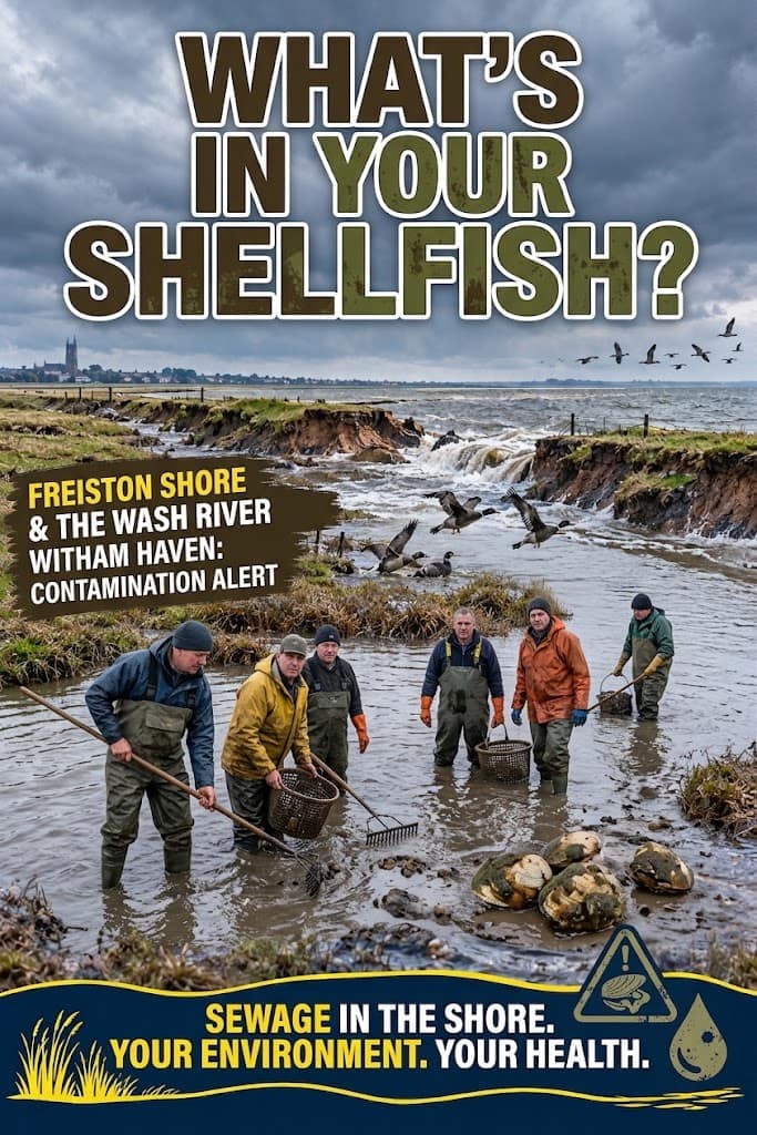
This is happening we believe in boston poo farms disposing waste.
- Classification Zones: Shellfish beds (including those at Stubborn Sands in Heacham right across The Wash from Boston) are routinely tested for E. coli. If E. coli spikes above safe thresholds, the government legally closes the beds and bans commercial harvesting immediately. [1, 2]
- The Purification Process (Depuration): Because almost all UK shellfish beds now suffer from some sewage exposure, legally harvested shellfish cannot go straight to market. They must pass through a commercial purification facility where they are held in tanks of clean, recirculating seawater under intense UV light for several days. This forces the shellfish to flush the E. coli out of their systems before they are packaged and tested again for safety. [1, 2, 3]
- The Financial Toll: This process means the shellfish sold legally in stores are safe, but local legitimate fishermen are on a “knife edge” because they have to foot the rising costs of intensive purification due to the water companies’ pollution. [1]
2. The Black Market Threat (Illegal Harvesting)
- The Loophole: Organized “gangmasters” use teams of unregulated harvesters to raid coastal beds (including protected or closed zones around East Anglia and the South Coast) under the cover of darkness. [1, 2]
- How it Reaches the Public: These poachers bypass the mandatory UV purification tanks entirely. They sell the raw, highly contaminated shellfish out of the back of vans directly to unwitting local street markets, independent restaurants, or cash-in-hand wholesalers who fail to check legal “registration documents”. These batches are heavily laden with E. coli and frequently trigger serious outbreaks of severe food poisoning. [1, 2]
How to Protect Yourself
- Ask for Traceability: Legitimate fishmongers and market stalls are legally required to possess a movement/registration document showing exactly which classified harvest zone the shellfish came from and where it was purified.
- Never Eat Open Shellfish: If buying live mussels or cockles, ensure they are tightly shut. If they are already open before cooking, they are dead, heavily harvesting bacteria, and must be thrown away. [1, 2]
When this happend in heacham measures was taken immediately.
-
- Stubborn Sands, Heacham: The local council implemented a temporary ban on collecting and eating shellfish (specifically cockles). This was triggered after routine water testing revealed high levels of E. coli bacteria exceeding safety limits. The Environment Agency classified the water quality here as “poor,” largely driven by seasonal warm weather, agricultural run-off, sewage, and bird populations. Commercial harvesters and the public are strongly advised not to eat shellfish from this inner bed. [1, 2, 3, 4]
-
- Byelaw 8 Closures: The Eastern Inshore Fisheries and Conservation Authority (EIFCA) previously utilized Byelaw 8 to temporarily close parts of the Wash to manage exploitation and let stocks recover. Commercial management shifted directly under the Wash Cockle and Mussel Byelaw 2021. [1, 2]
-
Past Stock Collapses: In previous seasons, the EIFCA issued complete blanket bans on cockle and dredged mussel harvesting across the Wash due to dangerously low adult
Where is anglian water ?

Email the ceo
mthurston@anglianwater.co.uk
call
01522 341000